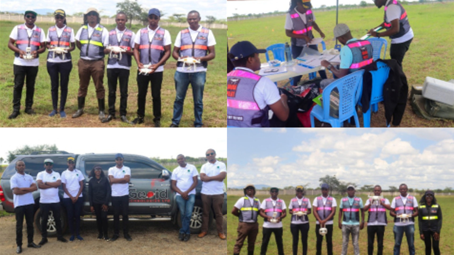
The Remote Sensing Research Group (RSRG) team and part of the Institute of Geomatics, GIS and Remote Sensing (IGGReS) team underwent a 2 weeks’ theory and practical drone training exercise under the CITGI4Muringato project. The training, undertaken by Geoid Technologies Limited equipped the team members with the prerequisite skills and knowledge associated with drone flying requirements. Moreover, the training ensured compliance with the regulations set out by the Kenya Civil Aviation Authority (KCAA). The training was successfully completed, with the team acquiring their Remote Pliot Licences (RPL).